AT vs PCT DifficultyChoosing Your Epic Trail Adventure Wisely
Planning & Preparation
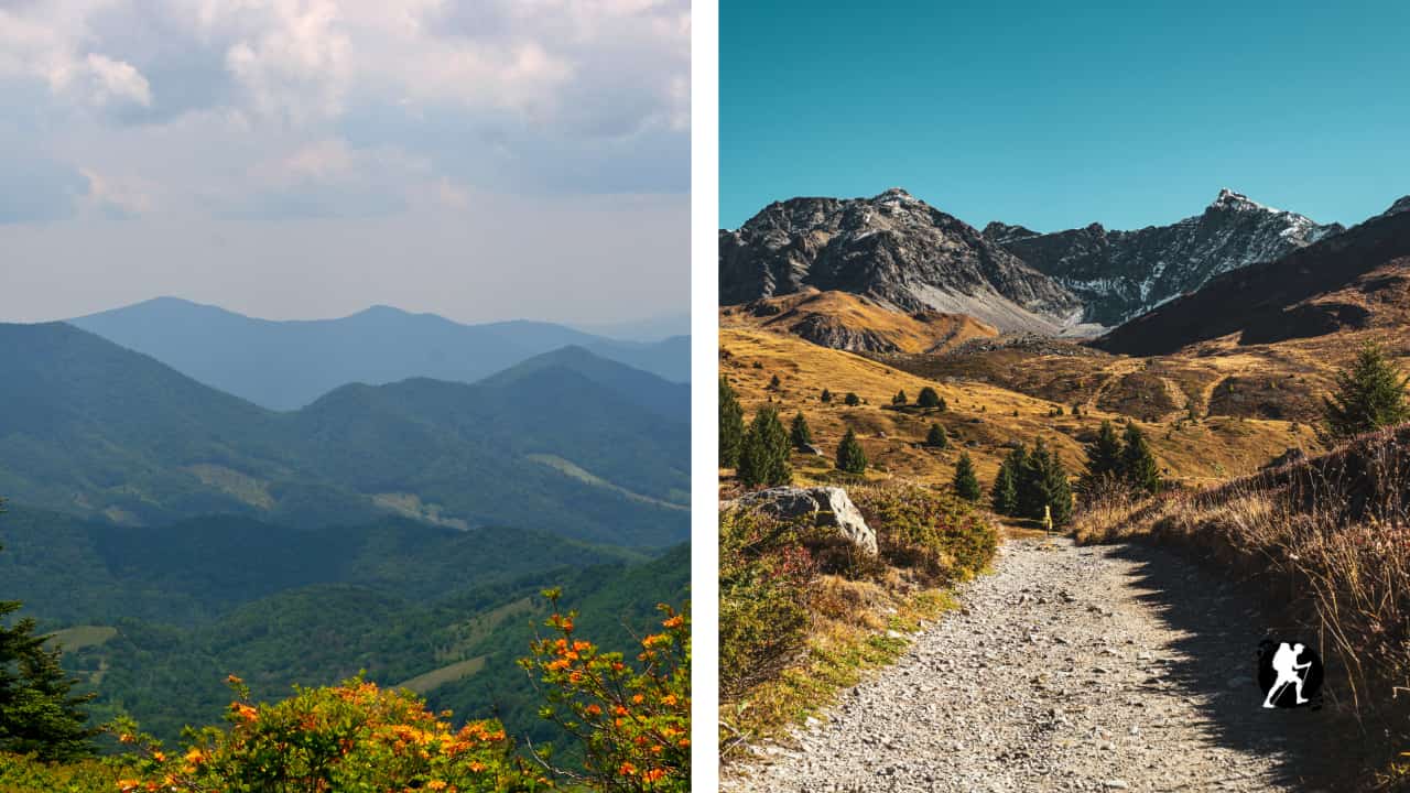

Complete Pacific Crest Trail overview covering all five sections from Mexico to Canada. Learn about terrain, resupply towns, elevation challenges, and what beginners need to know before hiking the PCT’s 2,650 miles.
Quick Trail Facts
Difficulty: Hard
Distance: 2650 mi
Elevation Gain: 489,418 ft
Campo, CA – Manning Park
Average Time: 4-6 Months
Permit Required?: false
The Pacific Crest Trail (PCT) is one of America’s most iconic long-distance hikes, stretching 2,650 miles (4,265 km) from Campo, California on the Mexican border to Manning Park in British Columbia, Canada. The trail traverses three states, California, Oregon, and Washington, and climbs through vastly different ecosystems, from arid deserts to alpine meadows.
Most hikers walk northbound (NOBO), starting in late April or early May to avoid snow in the Sierra Nevada and finish before winter storms hit Washington. The journey typically takes 4-6 months to complete, with an estimated completion rate around 14%.
The PCT begins at the Mexican border near Campo, immediately throwing hikers into the desert. Expect extreme heat (up to 100°F/38°C), exposed terrain, and careful water management, some stretches go 20+ miles without water sources.
You’ll cross through mountain ranges including the San Jacinto, San Bernardino, and San Gabriel Mountains before reaching the hot Mojave Desert. After the Tehachapi Mountains, you enter the southern Sierra Nevada.
Town Options: Idyllwild (most popular desert stop), Mount Laguna, Warner Springs, Wrightwood, Tehachapi
What to Expect: Rattlesnakes, cacti, long waterless stretches, temperature extremes, stunning desert sunsets
For many, this section is the pinnacle of the PCT thru-hiking. After Kennedy Meadows, you enter the High Sierra Nevada, the crown jewel of the trail. This section runs parallel to the John Muir Trail and features glacier-carved valleys, alpine lakes, and multiple passes above 11,000 feet.
You’ll summit Mount Whitney (14,505 ft), the highest peak in the contiguous United States, then traverse through Yosemite National Park. Forester Pass at 13,153 feet is the highest point on the entire PCT.
Town Options: Kennedy Meadows, Lone Pine, Bishop/Independence (via Kearsarge Pass), Vermilion Valley Resort, Mammoth Lakes, Tuolumne Meadows
What to Expect: Snow (even in summer), bear canisters required, high altitude, spectacular granite peaks, pristine wilderness, potentially dangerous river crossings in high snow years
After the Sierra’s high passes, Northern California offers some relief. The trail descends into forested terrain with more wildlife opportunities, black bears, deer, and foxes are common. You’ll pass through Lassen Volcanic National Park and cross the dry Hat Creek Rim before descending to the Sacramento River.
The route continues through the Marble Mountain Wilderness and climbs through the Siskiyou Mountains before entering Oregon.
Town Options: Etna (consistently top-rated), Chester, Burney, Mount Shasta, Seiad Valley
What to Expect: More moderate elevation changes, thick forests, volcanic geology, occasional hot and dry stretches
Oregon is considered the most “friendly” section by many hikers thru-hiking. The trail maintains relatively constant elevation with fewer dramatic climbs. You’ll pass numerous lakes, cross the volcanic Cascade Range, and walk through lush forests nourished by frequent rainfall.
Highlights include Crater Lake (America’s deepest lake at 1,932 feet), Mount Hood, and the Columbia River Gorge. The trail is well-maintained and allows hikers to cover big miles.
Town Options: Ashland, Crater Lake (Mazama Village), Bend, Sisters, Cascade Locks
What to Expect: Gentle terrain, many resupply options, beautiful alpine lakes, volcanic landscapes, higher rainfall, mosquitoes in summer
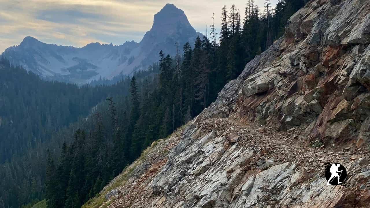
The final push through Washington tests tired legs with challenging terrain. After climbing from the Columbia River Gorge, you’ll traverse the North Cascades, some of the most rugged mountains on the entire trail. Expect constant elevation changes: climb, descend, repeat.
Key wilderness areas include Indian Heaven, Glacier Peak, and the Pasayten Wilderness. This section has roughly 750 permanent snowfields and is the wettest, windiest portion of the PCT.
Town Options: Trout Lake, White Pass, Snoqualmie Pass, Stehekin (consistently top-rated), Stevens Pass/Leavenworth, Mazama
What to Expect: Rugged terrain, rain, possible early snow, glacier-clad peaks, bears, challenging navigation, emotional finish at the Northern Terminus
Permits: Required for all thru-hikers. Apply through the Pacific Crest Trail Association (PCTA). Northbound permits are date-specific to protect the environment from overuse.
Resupply Strategy: The PCT runs adjacent to civilization, making resupply manageable without over-planning. Most hikers use a combination of buying food in towns and mailing resupply boxes to remote locations.
Budget: Expect $4,000-$6,000 for a thru-hike, including gear, food, lodging, and town stops.
Trail Culture: The PCT is famous for its strong community. You’ll likely form a trail family and encounter trail angels who provide support, rides, meals, and hospitality.
Hazards: Bears (proper food storage essential), rattlesnakes, extreme heat, snow travel, river crossings, altitude sickness, wildfires
Weather varies dramatically along the trail. Always monitor conditions and be prepared for rapid changes, especially in mountain sections. Early-season hikers face snow in the Sierra; late-season hikers risk snow in Washington.
Fitness matters: With elevation gain equivalent to climbing Mount Everest more than 16 times, physical preparation is essential.
Flexibility is key: Wildfires, snowpack, injuries, and personal circumstances mean few hikers follow their original plan exactly. Be prepared to adapt.
The Pacific Crest Trail demands thorough preparation, mental toughness, and respect for wilderness. But for those who complete it, the PCT offers an unforgettable journey through some of North America’s most spectacular landscapes.
Planning & Preparation
Planning & Preparation