AT vs PCT DifficultyChoosing Your Epic Trail Adventure Wisely
Planning & Preparation
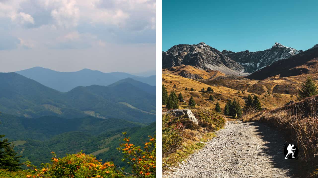

Explore the Appalachian Trail: full-route overview, total elevation gain (~465,000 ft), state-by-state mileage, section-hiking advice, and nearby towns for resupply. Ideal for new thru-hikers or section-hikers plotting their adventure.
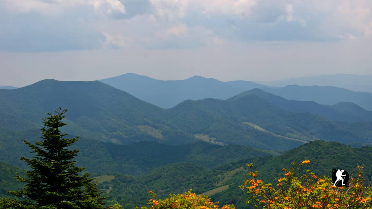
Quick Trail Facts
Difficulty: Intermediate
Distance: 2200 mi
Elevation Gain: 465,000 ft
Spring Mtn, Georgia – Mt Katahdin, Maine
Average Time: 5-7 Months
Permit Required?: true
The Appalachian Trail (AT) stretches 2,198 miles from Georgia to Maine, crossing 14 states, with nearly 515,000 feet of elevation gain — roughly the equivalent of climbing Mount Everest 16 times. Most thru-hikers take 5–7 months to complete it, but it’s equally accessible for section hikers and first-time long-distance backpackers.
Distance: ~470 miles
Terrain: Lush forests, rolling ridges, iconic balds, high humidity, Smokies alpine summits
This region introduces hikers to gradual climbs, dense green tunnels, and the first taste of Appalachian balds, open grassy mountain tops with 360° views. Trail culture begins here, including hostels, trail angels, and early trail towns.
Key highlights: Springer Mountain, Blood Mountain, Max Patch, Great Smoky Mountains NP, Clingmans Dome (highest point on AT)
Water availability: Excellent, frequent springs and streams except in summer drought pockets
Climate: Cool mornings, humid afternoons; snow and ice possible in March/April in Smokies
Distance: ~920 miles
Terrain: Long ridge walks, historic towns, rock fields, green countryside
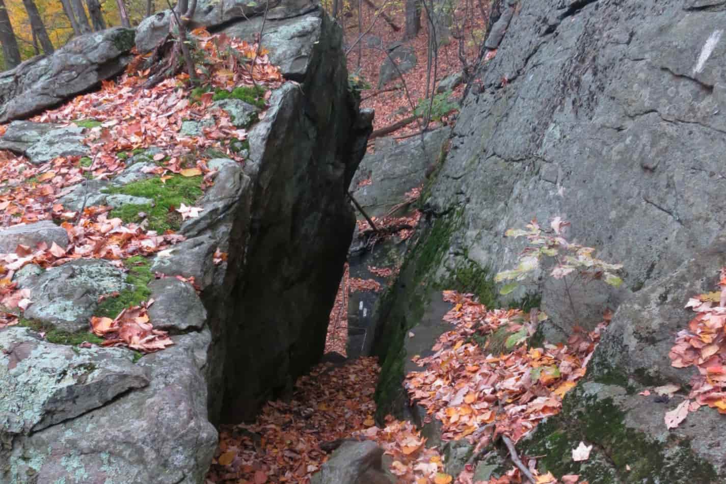
This is the longest continuous region of the AT, nearly half the entire trail. Known for its rolling terrain, ridgeline cruising, and dense town infrastructure, this is where many hikers find rhythm. Pennsylvania introduces rocky, ankle-twisting miles known as the “Rocksylvania” challenge.
Key highlights: Shenandoah National Park, McAfee Knob, Harpers Ferry (AT HQ), Mason-Dixon Line
Water availability: Good, but occasional stretches with unreliable spring flow
Climate: Generally mild; hot in mid-summer with bugs and humidity
Distance: ~290 miles
Terrain: Swamps, rolling forests, rocky scrambles, steep short ascents
This region transitions into smaller climbs, rugged ridges, and scenic farmland. Fewer thru-hikers, quieter trail, and subtle terrain shifts. Excellent for short section hikes and first-time backpackers.
Key highlights: Bear Mountain, Hudson River crossing, Greylock summit, trail wildlife, bog bridges
Water availability: Good, but some swampy or stagnant sources… filter carefully.
Climate: Mild; muggy and buggy in summer, wet in spring
Distance: ~518 miles
Terrain: Alpine ridges, rugged climbs, deep wilderness, major elevation shifts
This is the most physically and mentally demanding section of the AT. Northern New England introduces scrambles, roots, mud, bogs, and exposed alpine traverses. The White Mountains and Maine are known for their slow pace and limited resupply, often requiring 7–10 day food carries.
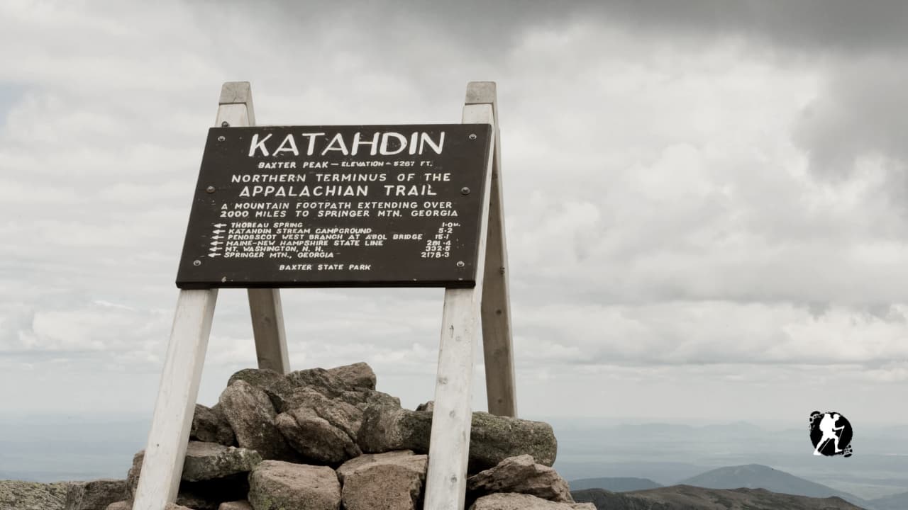
Key highlights: Franconia Ridge, Presidential Range, Mt. Washington, Mahoosuc Notch, 100-Mile Wilderness, Mount Katahdin
Water availability: Excellent, reliable springs, streams, ponds
Climate: Unpredictable, high winds, snow in shoulder seasons, wet and cold conditions
Permits Required:
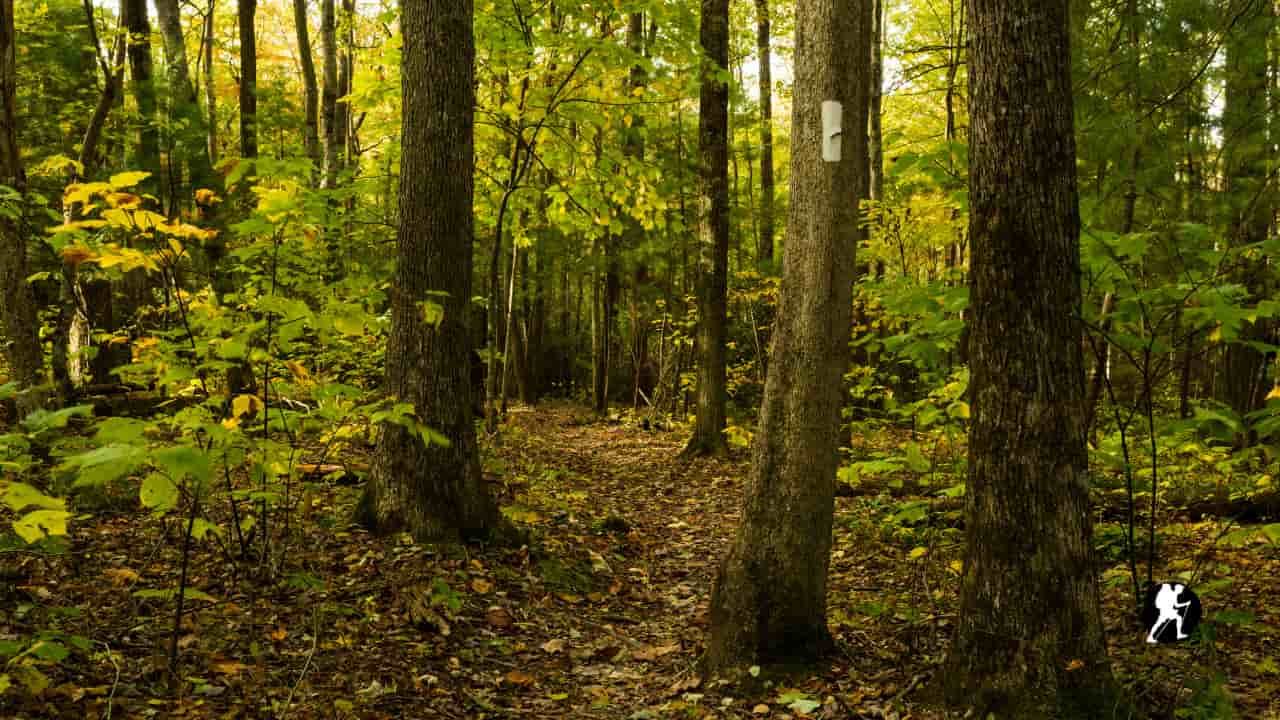
Navigation: White blazes are generally reliable, but most hikers carry FarOut for water, campsites, and shuttle/contact info.
Best Direction:
Seasonal Strategy:
Highest Point: Clingmans Dome/Kuwohi, 6,643 ft
Lowest Point: Bear Mountain Zoo, NY, 124 ft
Planning & Preparation
Planning & Preparation
News & Events
Planning & Preparation
Planning & Preparation

Planning & Preparation
Planning & Preparation