
Colorado Trail Itinerary35-Day Beginner's Guide from Denver to Durango
Planning & Preparation
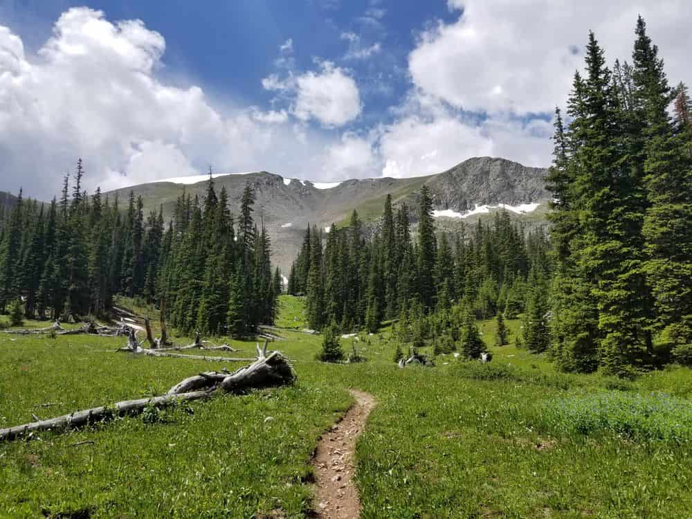

The Colorado Trail spans 486 miles from Denver to Durango through eight mountain ranges. Learn what to expect section-by-section, key town stops, and essential planning tips for this high-altitude Rockies adventure.
Quick Trail Facts
Difficulty: Hard
Distance: 486 mi
Elevation Gain: 89,000 ft
Denver – Durango
Average Time: 4-5 Weeks
Permit Required?: false
The Colorado Trail (CT) is a 485-mile (780 km) high-altitude trek through the Colorado Rockies, running from Denver to Durango. The trail crosses eight mountain ranges and reaches elevations over 13,000 feet. Most hikers complete it in 4-5 weeks during the July-September window. The CT is divided into 28 official segments that offer diverse terrain from alpine meadows to exposed ridgelines.
Distance: ~78 miles | Terrain: Rolling hills, pine forests, meadows
You start at Waterton Canyon southwest of Denver and climb gradually through the South Platte watershed. The trail passes Kenosha Pass (a scenic highlight) and Long Gulch, a beautiful 6-mile meadow section. Expect moderate elevation gain as you warm up your legs.
Town Options:
Distance: ~88 miles | Terrain: High alpine, exposed passes, ski resort areas
Here the CT joins the Continental Divide Trail (CDT) for the next 250 miles. You’ll traverse Georgia Pass, Kokomo Pass, and pass near popular ski towns. The terrain becomes more challenging with longer water carries and afternoon thunderstorm exposure.
Town Options:
Distance: ~54 miles | Terrain: Rugged peaks, deep valleys, strenuous climbs
This is serious wilderness. You’ll skirt Mount Massive and Mount Elbert (Colorado’s two highest peaks – both 14ers you can summit as side trips). The trail climbs through Holy Cross Wilderness with steep ascents and descents. Leadville is the key resupply here.
Town Options:
Distance: ~72 miles | Terrain: Two route options – East or West Collegiate
The trail offers a choice: the traditional East Collegiate Route through pine and aspen forests with Marshall Pass (the steepest climb on the CT), or the West Collegiate Route which stays higher, more remote, and more challenging.
Town Options:
Distance: ~48 miles | Terrain: Lower elevation, drier, open valleys
A dramatic change from mountains to ranch country. This section is drier and dustier with longer water carries through the Cochetopa Valley. Fewer crowds and a different feel, but ends in Creede, often called the best trail town on the CT.
Town Options:
Distance: ~33 miles | Terrain: Dramatic peaks, high passes, stunning views
Welcome to the San Juans, one of Colorado’s most spectacular ranges. You’ll cross the CT’s highest point at Coney Summit (13,271 ft) near Jarosa Mesa. The climbs are tough but the alpine vistas are unmatched. The CT splits from the CDT here as the CDT heads toward New Mexico.
Town Options:
Distance: ~52 miles | Terrain: Exposed ridgelines, thunderstorm zone, spectacular finish
The grand finale includes some of the CT’s most scenic terrain but also its most exposed sections. Indian Trail Ridge is notorious for afternoon thunderstorms – plan to camp below treeline and cross high sections early morning. The final miles descend into Durango.
Town Options:
Best hiking season: Mid-July through September for lower snow and stable weather
Permits: No permit required for the CT itself, but some wilderness areas have regulations
Resupply strategy: Most hikers do 5-7 resupply stops. Common strategy: Breckenridge, Leadville, Salida/Twin Lakes, Creede, Lake City (optional), Durango
Shared trail: Expect mountain bikers and horseback riders – be courteous and trail-aware
Weather: Afternoon thunderstorms are nearly daily above treeline in summer. Start hiking early, reach high passes by noon, camp below treeline
Planning & Preparation