
Foothills Trail | Where Blue Ridge Serenity Meets Backcountry Adventure
Stretching 77 miles through North and South Carolina, the Foothills Trail blends waterfall-packed forests, rugged mountain climbs, and serene lakeside paths into one of the Southeast’s most underrated long-distance hikes.

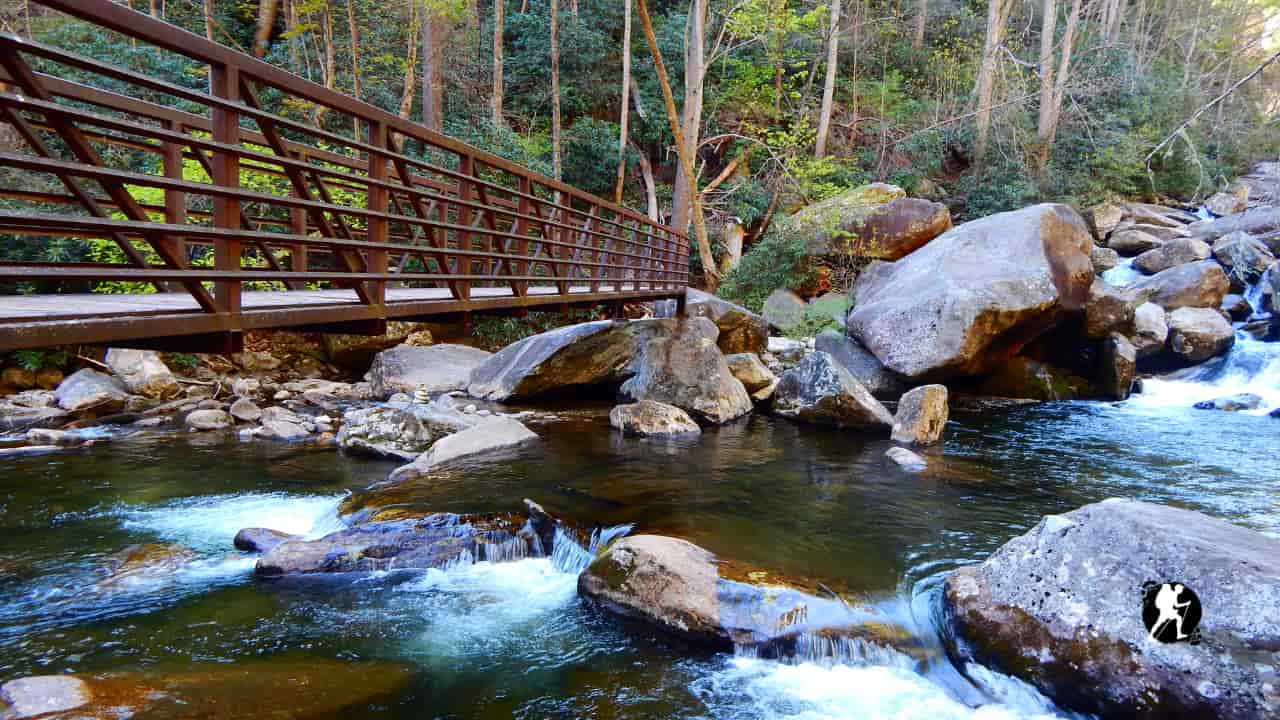
Quick Trail Facts
Difficulty: Easy
Distance: 76 mi
Elevation Gain: 17,000 ft
Oconee State Park – Table Rock State Park
Average Time: 5–10 Days
Permit Required?: false
The Foothills Trail (FHT) spans 76 miles across North and South Carolina, winding through the Blue Ridge Escarpment, deep river gorges, lush forests, and waterfall-rich terrain. Short enough for a 5–10 day thru-hike, yet diverse and challenging enough to prepare hikers for longer trails like the AT or PCT. Well-marked, beginner-friendly, but with rugged climbs and true wilderness.
Western Section (Oconee to Upper Whitewater Falls)
Distance: ~30 miles
Terrain: Rivers, waterfalls, rolling forest, well-maintained moderate trail
What to Expect
This section features lush river corridors, rhodo tunnels, and some of the trail’s most photogenic waterfalls. Minimal technical terrain, making it ideal for beginners or first-time shakedown hikes.
Key highlights:
Oconee State Park, Chauga River, Spoonauger Falls, Big Bend Falls, King Creek Falls
Water availability: Excellent — frequent rivers and streams
Climate: Humid; mild winters, wet springs, summer thunderstorms
Town / Access Options
- Wahalla, SC — closest major resupply town (~20 min from trailhead)
- Oconee State Park — campsite, basic store, lodging
- Burrells Ford Road — parking, shuttle access, campground nearby
Central Gorge Region (Upper Whitewater Falls to Laurel Valley)
Distance: ~25 miles
Terrain: Deep gorges, steep climbs, wooden staircase ascents, rugged river crossings
What to Expect
This is the heart of the trail — remote and physically demanding, with long climbs, river gorge traverses, and over 400 wooden steps. True wilderness feel, minimal road access, perfect for conditioning for larger thru-hikes.
Key highlights:
Whitewater River Gorge, Upper & Lower Whitewater Falls, Sassafras Mountain, Chattooga River
Elevation: Features some of the steepest ascents on the trail
Water availability: Abundant — constant stream access
Climate: Cool canyon air, slippery rocks, foggy mornings, sudden rain
Access Points / Shuttles
- Whitewater Falls Overlook — large parking area
- Horsepasture Road — limited access
- Laurel Valley Access — key mid-point trailhead (no services)
Eastern High Ridges (Laurel Valley to Table Rock State Park)
Distance: ~21 miles
Terrain: High ridges, panoramic views, exposed sections, mountain switchbacks
What to Expect
This region delivers big views, exposed ridgelines, and the highest point in South Carolina — Sassafras Mountain (3,553 ft). Some of the most technical climbs, including staircases, rocky ascents, and long ridge traverses.
Key highlights:
Sassafras Mountain Summit, Pinnacle Pass Trail junction, Table Rock overlook
Water availability: Moderate — mostly at lower elevations; carry extra
Climate: Breezy ridges, cooler temperatures, potential ice in spring/fall
Town / Resupply Options
- Cleveland, SC — small post office & gas station (closest to Sassafras Mtn)
- Pickens, SC — nearest full-service trail town (grocery, lodging)
- Table Rock State Park — store, visitor center, camping, showers
Planning Notes
Permits & Fees:
- No thru-hike permit required
- Parking fees may apply at Table Rock or Oconee State Parks
- Camping allowed at designated and dispersed sites (follow Leave No Trace)
Navigation:
Excellent white blaze system, mile markers, and signage. FarOut (Guthook) recommended for campsite, water source, and shuttle intel.
Best Direction:
- Eastbound (Oconee → Table Rock): More gradual start, saves hardest climbs for later
- Westbound: Immediate elevation challenge, ends smoothly by rivers
Suggested Duration:
- Thru-hike: 5–8 days
- Section hiking: Commonly split into 2–3 segments
- Great for first thru-hike practice before AT / PCT / Long Trail